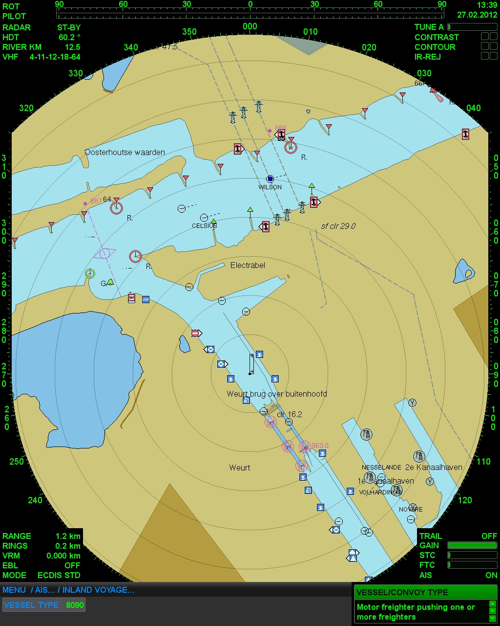
Precision Navigator II
The Only Navigation System Combining Radar, Inland AIS, and ECDIS
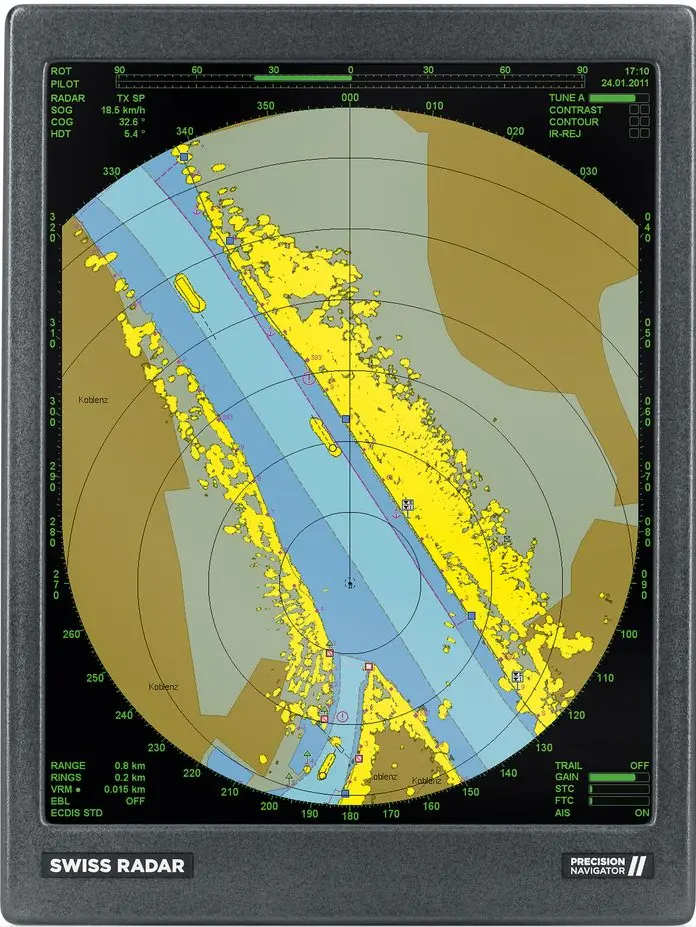
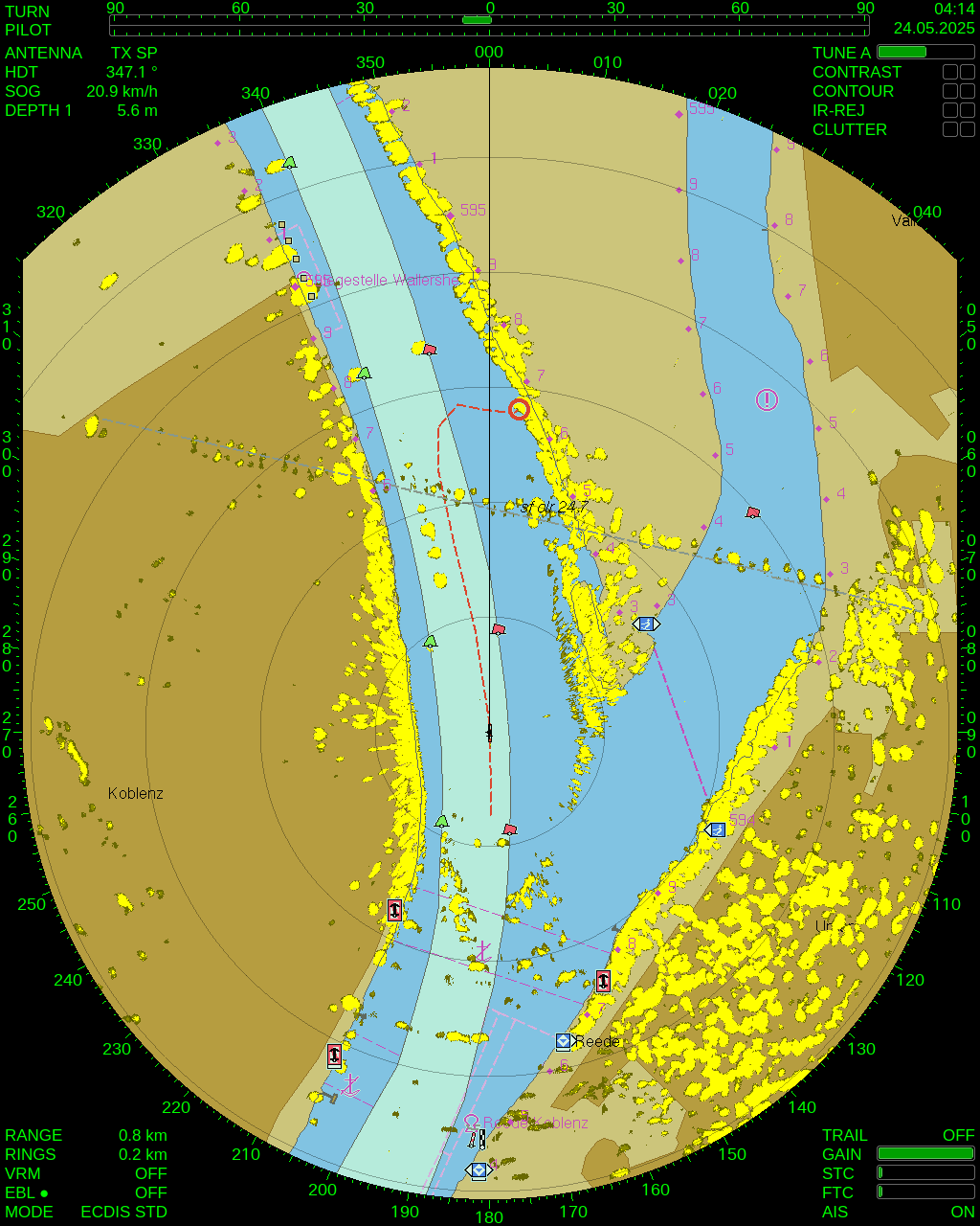
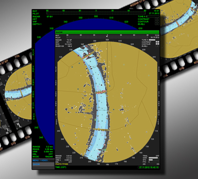
SyncPlot Technology
Perfect Synchronization of Radar and ECDIS
SyncPlot technology guarantees perfect synchronization between radar echoes and ECDIS charts, ensuring instant visual alignment and a smooth navigation experience. This is critical in reducing the risk of misinterpretations, especially in poor visibility conditions.
- Instant alignment of radar echoes and ECDIS charts
- No delay or mismatch. Critical for safe navigation in poor visibility
- Smooth and steady real-time image display
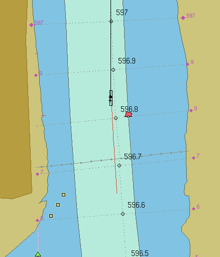
Position Prediction
See the Future of Your Navigation
Our Position Prediction feature helps you visualize your ship’s anticipated course based on current speed and steering. This foresight allows for real-time course adjustments to optimize maneuvers and avoid potential obstacles.
- Prediction line shows the ship’s future path
- Visualize course based on current speed and steering
- Optimize maneuvers and avoid obstacles with ease
- Essential for narrow or heavily trafficked waterways
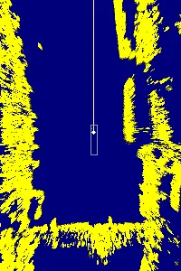
Clutter Filter
Clear Radar Image Even in Challenging Conditions
Our advanced Clutter Filter reduces interference from environmental factors like rain or waves, ensuring a clear and precise radar image. This helps improve target detection and overall navigation accuracy in challenging weather conditions.
- Reduces interference from rain and waves
- Sharper radar images for reliable target detection
- Adjustable filtering for different weather and traffic conditions
- Enhanced navigation accuracy with active tracking
 Clutter + Contrast
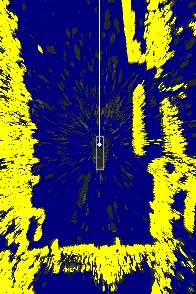
Clutter-Filter
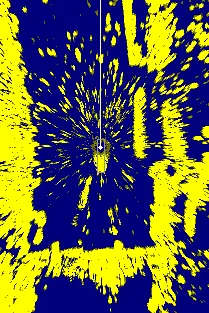
Unfiltered
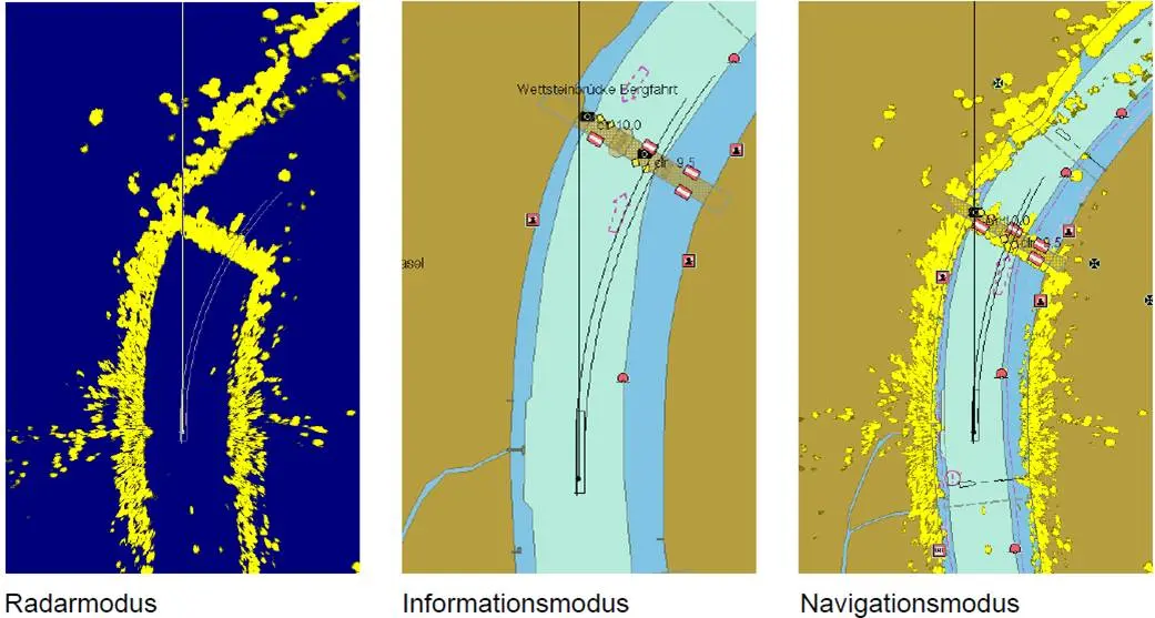
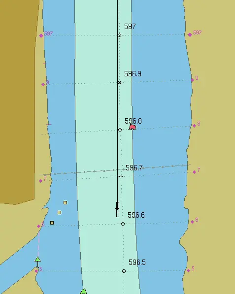
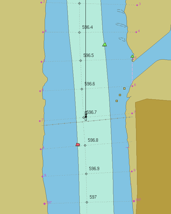
Route Option
Plan and Adjust Routes with Ease
The Route Option feature lets you plan your journey in advance, with the ability to adjust routes dynamically based on traffic or weather conditions. This flexibility ensures a safe and efficient voyage while optimizing fuel consumption.
- Plan and save routes directly in the system
- Automatic waypoint navigation for optimized journeys
- Dynamic adjustments to respond to traffic and weather
- Fuel savings through efficient route guidance
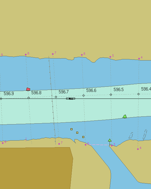
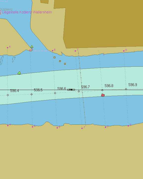
Tracking Option
Track and Analyze Ship Movements
With our Tracking Option, you can monitor and review past vessel movements, identify deviations from the planned course, and optimize future routes. This feature is invaluable for improving operational efficiency and safety.
- Automatic tracking of past routes
- Analyze maneuvers and optimize navigation strategies
- Create new routes based on recorded tracks
- Boost efficiency and safety with historical performance insights
Ferry Option
Tailored for Ferry Operations
The Ferry Option provides the flexibility to rotate the radar and ECDIS displays, making it ideal for ferry operations. Whether using a single monitor or dual-display setup, the system adapts to your specific needs, ensuring reliable navigation even in confined spaces.
- Rotate radar and ECDIS display by 90°, -90° or 180°
- Use one antenna unit with one or two monitors
- Full integration of radar echoes, AIS, and ECDIS chart rotation
- Custom configurations for ferry-specific needs
 Normal
-90° (Left)
+90° (Right)
180° (Back)
Blackbox Recording
Continuous 24/7 Event Recording
The Blackbox Recording function automatically stores up to 120 hours of data, allowing you to review past navigation events. This data is invaluable for incident analysis, safety audits, and compliance with regulations.
- Fully integrated with Precision Navigator II (no external device)
- Easy export to USB for detailed incident analysis
- Essential for investigations, audits, and training
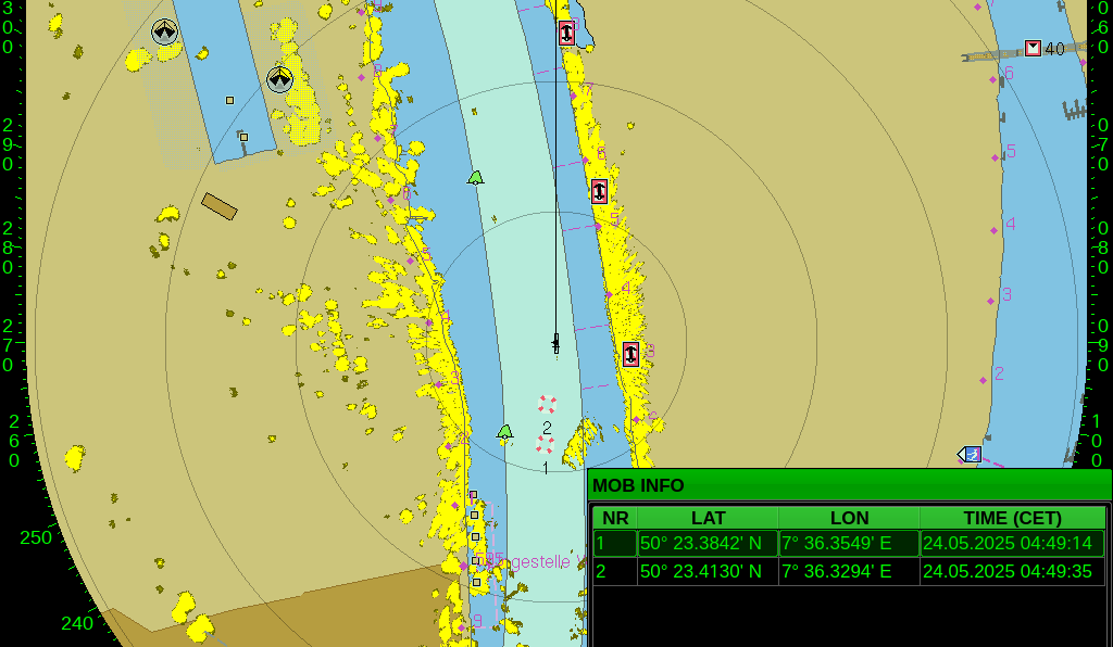
MOB (Man Overboard)
Instant Response in Emergency Situations
In the event of a man overboard, the MOB feature immediately marks the exact location, helping the crew return to the spot quickly. This crucial function greatly increases the chances of a successful rescue.
- One-button emergency activation
- Instant marking of MOB position
- Guided return to the exact location to maximize rescue success
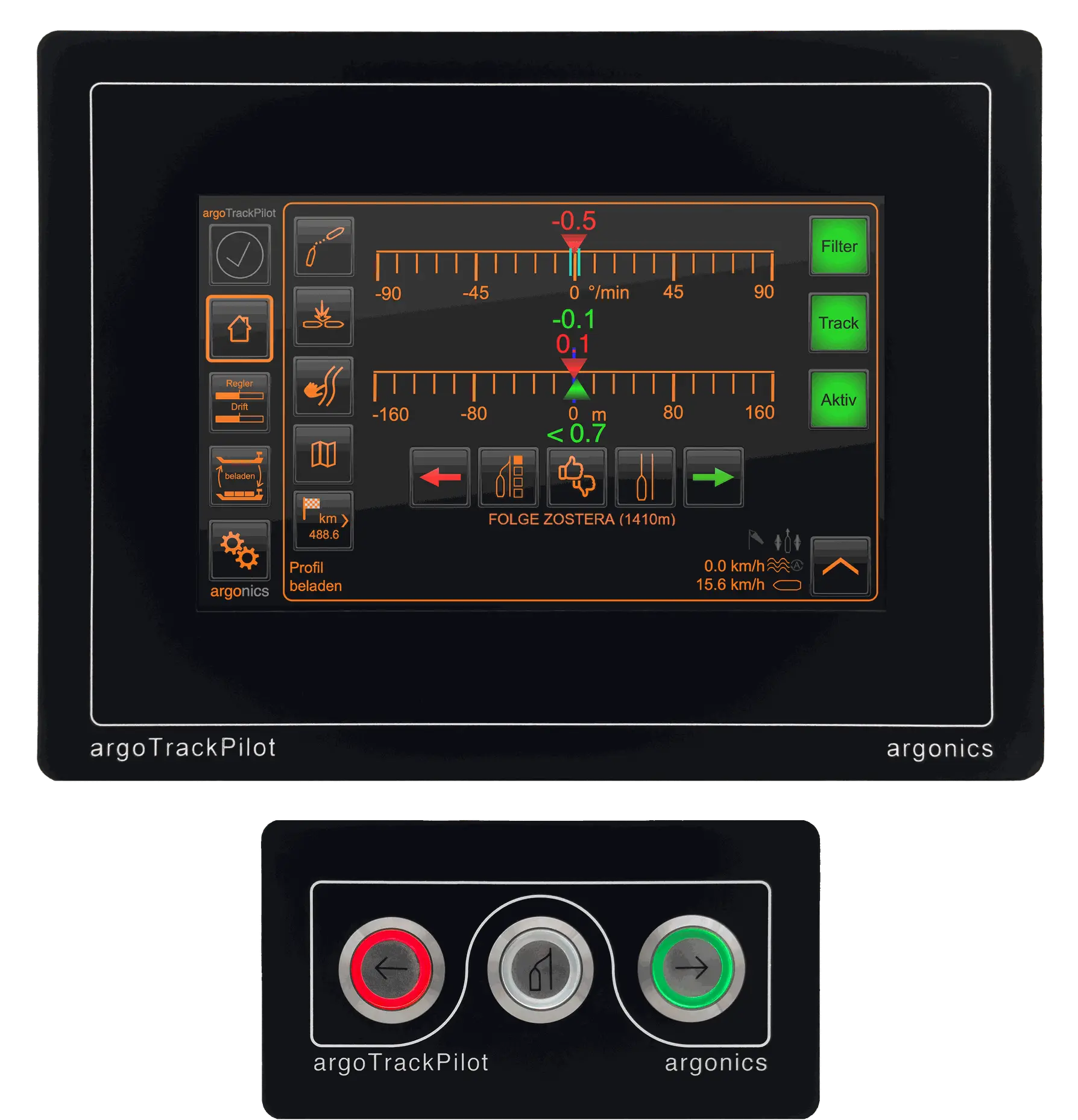
argoTrackPilot Integration
Automated, Hands-Free Navigation
Integrating the Argo Trackpilot with the Precision Navigator II enables fully automated course control. This feature makes navigation hands-free, allowing crews to focus on other operational tasks while ensuring precise and efficient routing.
- Seamless connection between Precision Navigator II and Argo Trackpilot
- Plan and send routes directly to the Trackpilot
- Automated course control reduces workload and saves fuel
- Optimized, hands-free navigation with real-time data synchronization
Are you looking for the most advanced and innovative navigation systems for your vessel?
Contact us and experience the ultimate in reliability, durability, and precision.